
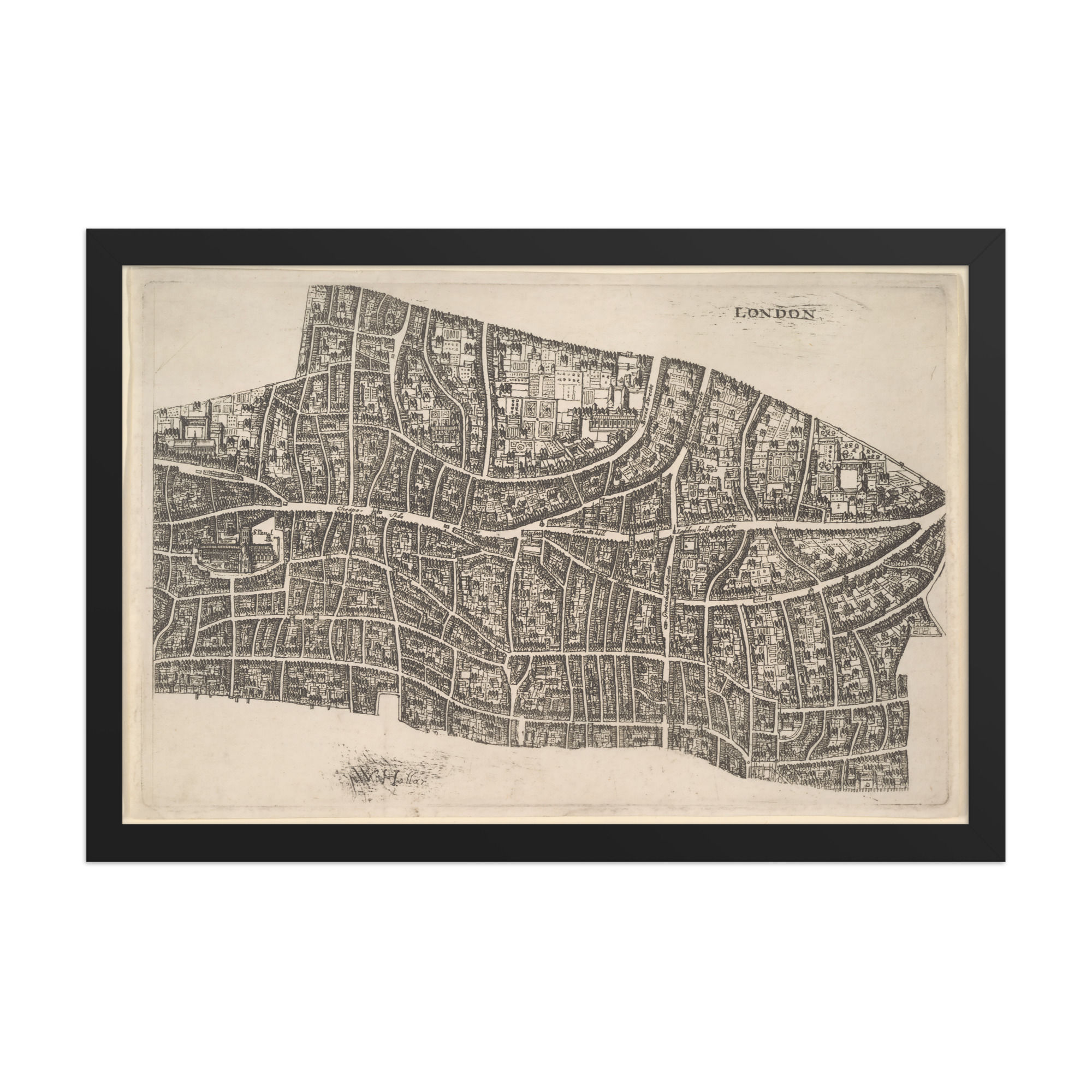

Agas Map of London Framed Print
Civitas Londinum brings the intricate street plan and historic fabric of Tudor London together in a classic cartographic composition that feels both scholarly and atmospheric. Featuring the finely detailed “Agas” Map of London with its dense network of roads, buildings, the River Thames, and the period title, this antique London map wall art creates a refined focal point while maintaining a timeless documentary aesthetic. Perfect for studies, living rooms, or offices where you want to introduce historical character and quiet intellectual depth. The dense engraving and aged paper tones evoke the charm of 16th-century city surveys—ideal for spaces where you want a sense of heritage and contemplative calm. This piece channels traditional cartographic illustration and works beautifully in classic, library-inspired, or modern interiors with a nod to history. Hang it as a focal point above a desk or console, or pair it with other vintage maps for a cohesive gallery wall. The precise linework and authentic period character add a collector-quality richness that rewards closer looking. Particularly striking in a study or reading room where the detailed streets invite exploration, this print also suits living rooms, hallways, and creative workspaces. Perfect for history enthusiasts, map collectors, and anyone seeking elegant antique wall art. The fine engraving detail and historic atmosphere look especially crisp and dimensional in person.


